- Middle Fork John Day River
-
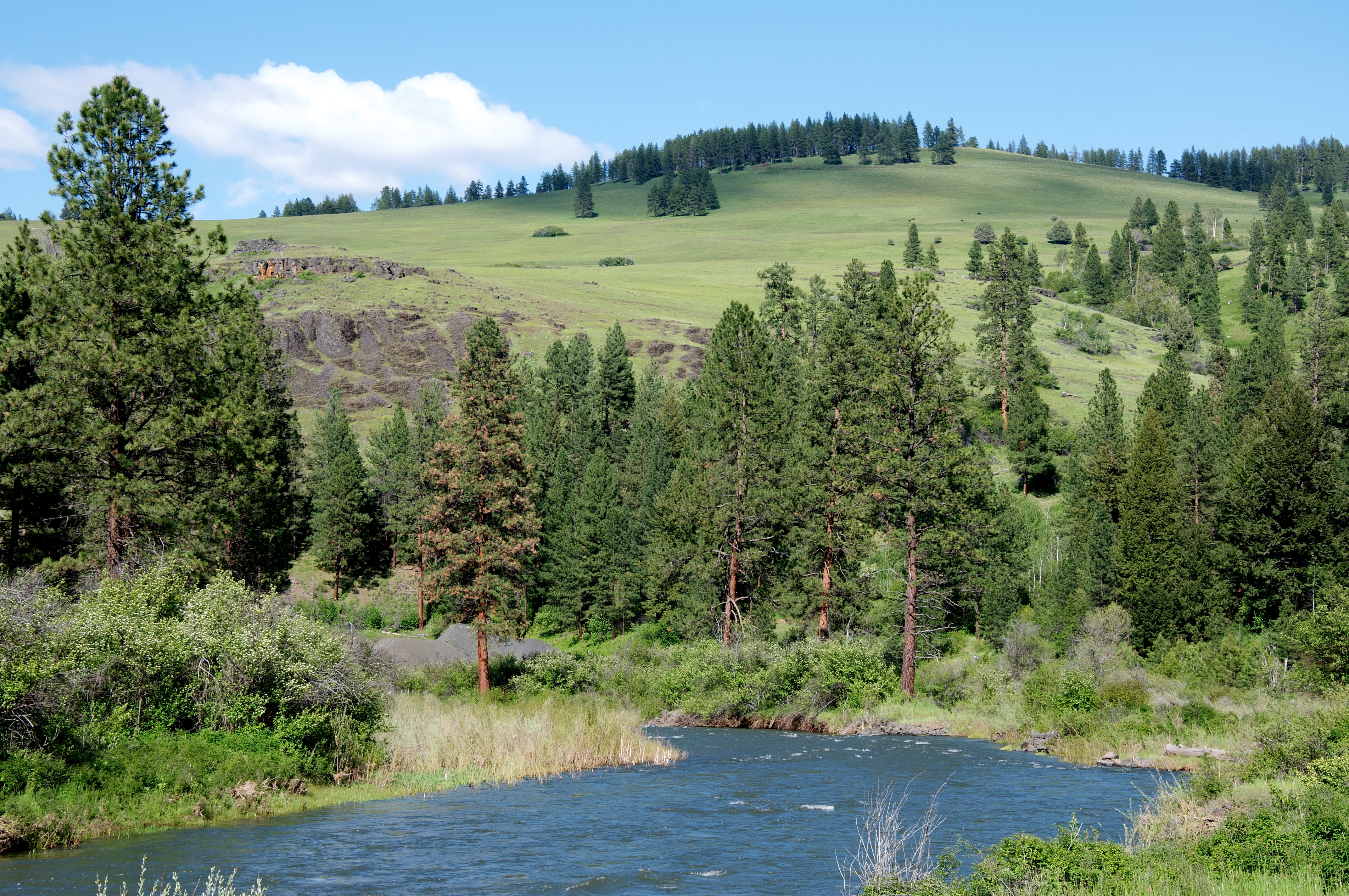
Middle Fork John Day River 
Name origin: John Day, fur trapper Country United States State Oregon County Grant Source Blue Mountains - location near Austin, Grant County, Oregon - elevation 4,254 ft (1,297 m) [1] - coordinates 44°35′05″N 118°25′48″W / 44.58472°N 118.43°W [2] Mouth North Fork John Day River - location near Slickear Mountain, Grant County, Oregon - elevation 2,192 ft (668 m) [2] - coordinates 44°54′59″N 119°18′08″W / 44.91639°N 119.30222°W [2] Length 73.4 mi (118 km) [3] Basin 806 sq mi (2,088 km2) [4] Discharge for Ritter, Oregon, 14.9 miles (24.0 km) from the mouth - average 257 cu ft/s (7.28 m3/s) [5][6] - max 4,730 cu ft/s (133.94 m3/s) - min 0.90 cu ft/s (0.03 m3/s) 
 Location of the mouth of the Middle Fork John Day River in Oregon
The Middle Fork John Day River is a 73-mile (117 km) tributary of the North Fork John Day River in the U.S. state of Oregon. It originates in the Blue Mountains of northeast Oregon in the Malheur National Forest near Austin and flows generally west to the North Fork about 18 miles (29 km) above Monument. The Middle Fork drainage basin covers about 806 square miles (2,090 km2).[4]
The Oregon Scenic Waterways Program, administered by the Oregon Parks and Recreation Department (OPRD) protects the river for most of its length. The state lists a 60-mile (97 km) segment of the Middle Fork from about 71 miles (114 km) from the mouth to about 11 miles (18 km) from the mouth as a Scenic River Area and the lower 11 miles (18 km) as a Natural River Area. People planning to cut trees, mine, build roads or structures, or to make other substantial changes within 0.25 miles (0.40 km) of the river must first notify OPRD and seek its approval.[7]
See also
- List of rivers of Oregon
- List of longest streams of Oregon
References
- ^ Source elevation derived from Google Earth search using GNIS source coordinates.
- ^ a b c "Middle Fork John Day River". Geographic Names Information System. United States Geological Survey. November 28, 1980. http://geonames.usgs.gov/pls/gnispublic/f?p=gnispq:3:::NO::P3_FID:1146148. Retrieved October 7, 2008.
- ^ "Online Topographic Maps from the United States Geological Survey". TopoQuest. http://www.topoquest.com/map.php?lat=44.584722&lon=-118.43&datum=nad83&zoom=4. Retrieved October 9, 2008.
- ^ a b Columbia-Blue Mountain Resource Conservation & Development Area (2005). "John Day Subbasin Revised Draft Plan" (pdf). Northwest Power and Conservation Council. http://www.nwcouncil.org/fw/subbasinplanning/johnday/plan/PlanRevised.pdf. Retrieved October 9, 2008.
- ^ "USGS 14044000 Middle Fork John Day River at Ritter, OR". United States Geological Survey. 2008. http://waterdata.usgs.gov/nwis/uv?14044000. Retrieved October 9, 2008.
- ^ The average discharge rate was calculated by adding average annual discharge rates for the 10 calendar years, 1997–2006, from the USGS gauge records and dividing by 10.
- ^ "Scenic Waterways Program". Oregon Parks and Recreation Department: Rules and Regulations. State of Oregon. 2008. http://www.oregon.gov/OPRD/RULES/waterways.shtml. Retrieved October 10, 2008.
Categories:- Rivers of Oregon
- Landforms of Grant County, Oregon

Wikimedia Foundation. 2010.