Langedijke

Langedijke

Infobox Settlement
official_name = Langedijke
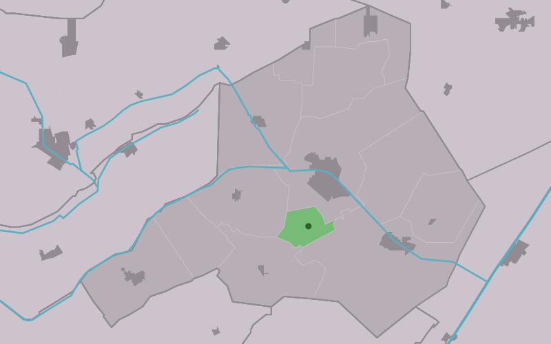


mapsize = 280px
subdivision_type = Country
subdivision_name = flagicon|Netherlands Netherlands
subdivision_type1 = Province
subdivision_name1 = flagicon|Friesland Friesland
settlement_type = Village
population_total = c. 293 (2006)

Langedijke ( _fr. Langedike) is a village consisting of about 290 inhabitants in the municipality of Ooststellingwerf in the east of Friesland in the Netherlands.

External link

* [http://www.friesarchiefnet.nl/genealogie.asp?partID=459#3e Site about road names of Langedike]


Wikimedia Foundation. 2010.

Игры ⚽ Нужно решить контрольную?

Look at other dictionaries:

  • Langedijke — 52°57′53″N 6°17′19″E / 52.96472, 6.28861 …   Wikipédia en Français

  • Ooststellingwerf —   Municipality   Flag …   Wikipedia

  • List of places in the Netherlands — This is an alphabetical list of places (cities, towns, villages) in the Netherlands. Lists per province can be found at:* List of towns in Groningen * List of towns in Friesland * List of towns in Drente * List of towns in Overijssel * List of… …   Wikipedia

  • Oosterwolde — Gemeinde Ooststellingwerf Flagge Wappen Provinz …   Deutsch Wikipedia

  • Ooststellingwerf — Gemeinde Ooststellingwerf Flagge Wappen Provinz Friesland …   Deutsch Wikipedia

  • Appelscha — 52° 57′ 17″ N 6° 21′ 00″ E / 52.9547, 6.35 …   Wikipédia en Français

  • Donkerbroek — 53°1′1″N 6°14′9″E / 53.01694, 6.23583 …   Wikipédia en Français

  • Elsloo (Frise) — 52°56′34″N 6°14′15″E / 52.94278, 6.2375 …   Wikipédia en Français

  • Fochteloo — 52°59′33″N 6°20′5″E / 52.9925, 6.33472 …   Wikipédia en Français

  • Haule — 53°2′13″N 6°18′15″E / 53.03694, 6.30417 …   Wikipédia en Français

Share the article and excerpts

Direct link
Do a right-click on the link above
and select “Copy Link”