- San Fernando Pioneer Memorial Cemetery
-
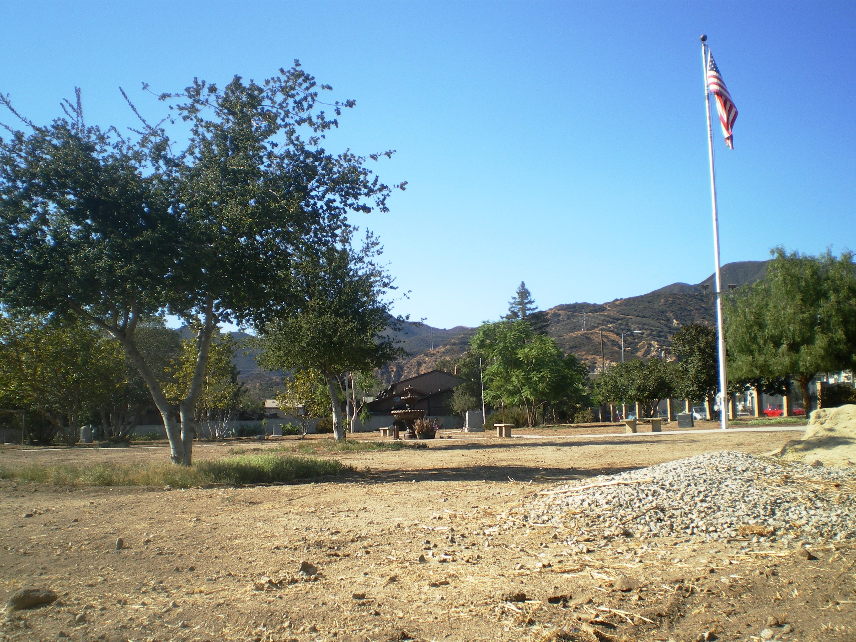
San Fernando Pioneer Memorial Cemetery L.A. Historic-Cultural Monument #586 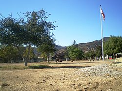 San Fernando Pioneer Memorial Cemetery, September 2008

Location: 14400 Foothill Boulevard, Sylmar, Los Angeles, California Coordinates: 34°19′15″N 118°26′53″W / 34.32083°N 118.44806°W Designated as LAHCM: 30 November 1993[1] Governing body: City of Los Angeles Dept. of Recreation & Parks San Fernando Pioneer Memorial Cemetery, earlier known as Morningside Cemetery, is a cemetery in the Sylmar district of Los Angeles.
Located on a 3.8 acre (15,000 m²) site at the corner of Foothill Boulevard and Bledsoe Street, the Pioneer Cemetery was originally a 10 acre (400,000 m²) site. The cemetery was established in the mid-19th century and used until 1939.[2] It was known at the time as the San Fernando Cemetery and also as the Morningside Cemetery and is the oldest non-sectarian cemetery in the San Fernando Valley.[2] (The area's oldest cemetery is the San Fernando Mission Cemetery which began operating in approximately 1800.) Over 740 residents were buried there between 1892 and 1939. After the cemetery was determined to be legally abandoned in 1959, it was acquired by the Native Daughters of the Golden West, San Fernando Mission Chapter, and maintained as a pioneer memorial park.[2] Edith Reber, a long time resident of Sylmar and an active member of the Chamber, for many years ran a volunteer effort to maintain the grounds with the help of local volunteer groups. It is located on what is currently the corner of Foothill Boulevard and Bledsoe Street.[2]
It was listed as a Los Angeles Historic-Cultural Monument in 1993. As "San Fernando Cemetery", it is a California Historical Landmark.
See also
References
- ^ Los Angeles Department of City Planning (September 7, 2007) (PDF). Historic - Cultural Monuments (HCM) Listing: City Declared Monuments. City of Los Angeles. http://www.cityprojectca.org/ourwork/documents/HCMDatabase090707.pdf. Retrieved 2008-09-28.
- ^ a b c d Judson Grenier (Editor-in-chief) (1978). A Guide to Historic Places in Los Angeles County, p. 96. Kendall/Hunt Publishing Co.. ISBN 0840375018.
Coordinates: 34°19′15″N 118°26′53″W / 34.32083°N 118.44806°W
Los Angeles Historic-Cultural Monument Lists Downtown Los Angeles • East and Northeast Sides • Harbor Area • Hollywood • San Fernando Valley •
Silver Lake, Angelino Heights and Echo Park • South Los Angeles • Westside • Wilshire and Westlake AreasCategories:- History of the San Fernando Valley
- Los Angeles Historic-Cultural Monuments
- California Historical Landmarks
- Cemeteries in Los Angeles, California
- San Fernando Valley

Wikimedia Foundation. 2010.