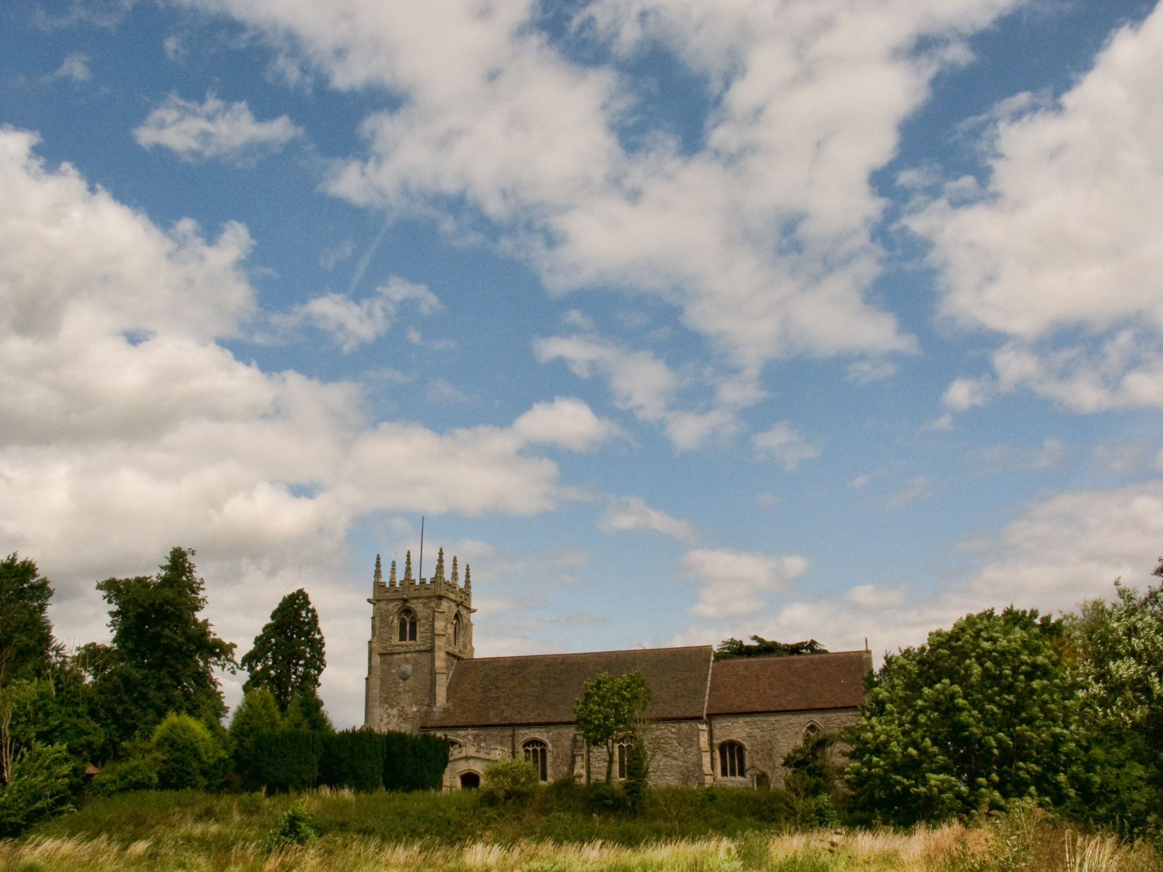
- Church of St. Michael and All Angels, Averham
-
Coordinates: 53°04′52″N 00°51′44″W / 53.08111°N 0.86222°W
St. Michael and All Angels, Averham 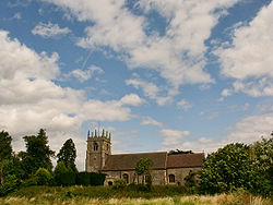
Denomination Church of England Churchmanship Broad Church Website www.riversideparishes.co.uk History Dedication St Michael and All Angels Administration Parish Averham Diocese Southwell and Nottingham Province York Clergy Vicar(s) Revd Myra Shackley The Church of St. Michael and All Angels, Averham is a parish church in the Church of England in Averham, Nottinghamshire.
The church is Grade I listed by the Department for Culture, Media & Sport as a building of outstanding architectural or historic interest.
Parish structure
The Church of St. Michael and All Angels is part of a joint parish which includes the churches of St. Wilfrid's Church, Kelham, St. Wilfrid's Church, North Muskham and St. Wilfrid's Church, South Muskham.
Description
The style of masonry in parts of the tower, nave and chncel prove that the structure is of Norman date though the tower arch is later. Also added later were the buttresses and pinnacles of the tower and the south porch (containing letters and shields referring to Sir Thomas Sutton, died 1525, and his wife). There is a fine east window in the chancel and the screen is simple early Perpendicular.
The north window contains some fragments of glass found in Kelham Hall and put together by Frederick Heathcote Sutton, rector of St. Helen's Church, Brant Broughton in Lincolnshire. Additionally, there is some late Victorian stained glass by Heaton, Butler and Bayne.
There is a wall monument to Robert Sutton, 1st Baron Lexinton who died in 1668. There are also two medieval memorials, a foliated cross and an effigy of a layman (poorly preserved).
Source
- The Buildings of England, Nottinghamshire. Nikolaus Pevsner
Categories:- Grade I listed churches
- Grade I listed buildings in Nottinghamshire
- Church of England churches in Nottinghamshire
Wikimedia Foundation. 2010.