- Marple Aqueduct
-
Marple Aqueduct 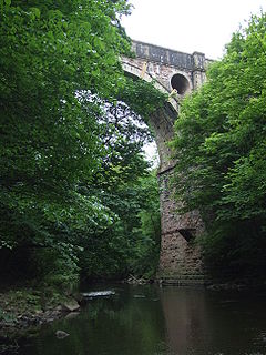
The Marple Aqueduct from the River Goyt. Carries Peak Forest Canal Crosses River Goyt Location Marple, Greater Manchester OS grid reference Maintained by British Waterways Designer Benjamin Outram and Thomas Brown Number of spans Three Total length 105 yards (96 m) Width 8 feet (2.4 m) Boats can pass? No Towpath(s) Western side only Begin date May 1794 Completion date 1799 Opening date 1800 Coordinates 53°24′26″N 2°04′09″W / 53.4073°N -2.0691°ECoordinates: 53°24′26″N 2°04′09″W / 53.4073°N -2.0691°E Marple Aqueduct, also known as the Grand Aqueduct, carries the lower level of the Peak Forest Canal across the River Goyt at Marple, Greater Manchester, in north-west England.
Benjamin Outram and Thomas Brown jointly designed it and the contract for its construction was placed with William Broadhead, Bethel Furness and William Anderson. The first stone was laid without ceremony in May 1794. The three arches were keyed in during 1799 and it was filled with water in 1800.
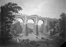 A contemporary view of the aqueduct in 1803
The aqueduct contains some 8,000 cubic yards (6,000 m³) of masonry and the arches are semi-circular in form and are on 72 feet 4 inches (22.05 m) centres. The lower part is of red sandstone, rough hewn from the nearby Hyde Bank quarry, and the upper part is of white-hewn masonry. The abutments widen in well-proportioned curves and batter or diminish upwards in the same manner. The skilful use of architectural features, such as pierced spandrels and string courses, arch rings and pilasters of ashlar stone, oval piers and stone of different type and colour have created a graceful structure, which is superlative in its class.
Its position, amidst the wooded valley of the river Goyt at Marple, gives it a bold and romantic character. It is a Scheduled Ancient Monument.[1]
Running along side it to the north is the Marple viaduct, on the Marple, New Mills and Hayfield Railway that services Marple Station.
See also
- List of canal aqueducts in Great Britain
- Scheduled Monuments in Greater Manchester
Photo gallery
-
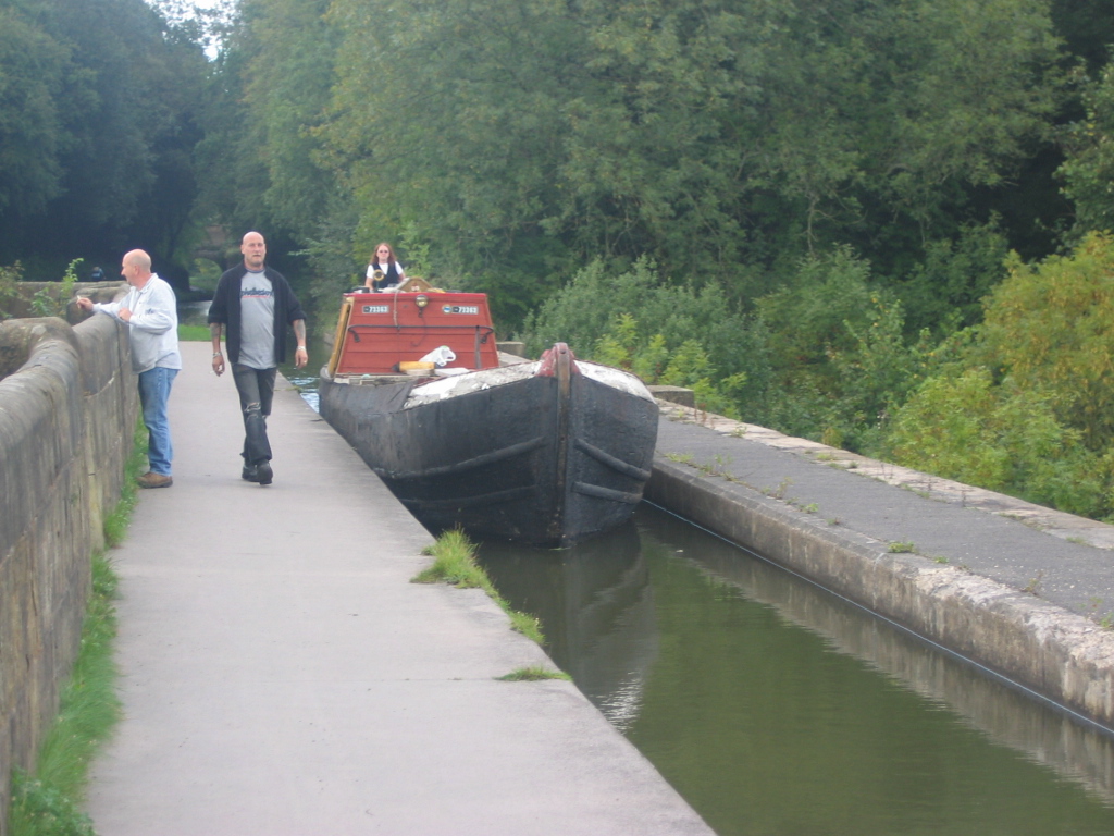
Working boat traversing Marple Aqueduct
-

Working narrowboat on Marple Aqueduct, with the viaduct to the north
-

Working freight boat on Marple Aqueduct
-
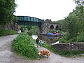
The canal swings away, and passes under the railway viaduct.
-
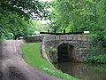
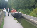
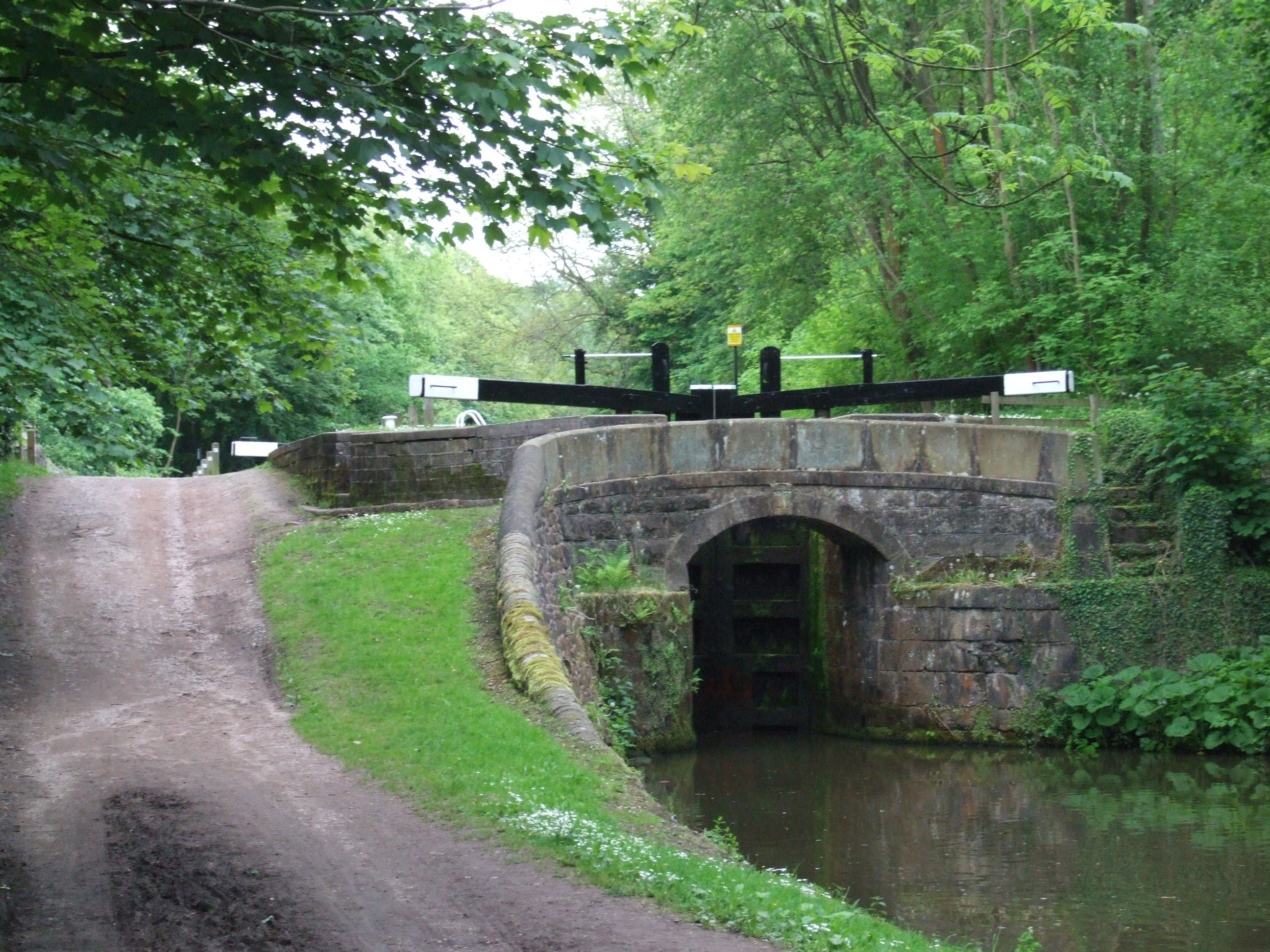
It then enters the Marple flight of locks.
References
- ^ "Marple Goyt Aqueduct". Pastscape.org.uk. http://www.pastscape.org.uk/hob.aspx?hob_id=78557. Retrieved 2007-12-30.
Categories:- Bridges in Greater Manchester
- Buildings and structures in Stockport
- Bridges completed in 1800
- Navigable aqueducts in England
- United Kingdom canal stubs


Wikimedia Foundation. 2010.